

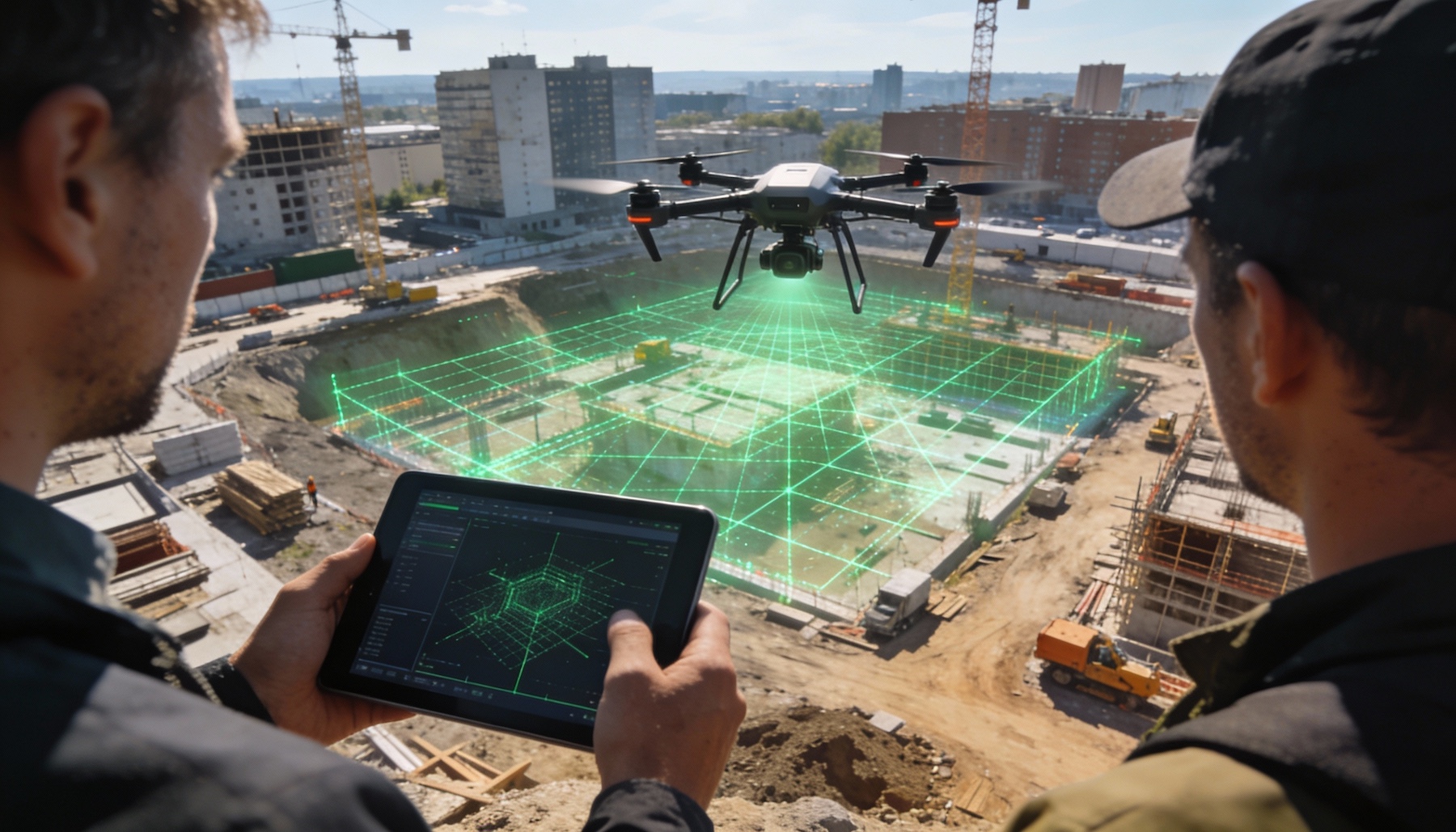
Drone geospatial intelligence is playing an increasingly important role as the geospatial intelligence market continues to expand toward 2030. According to a recent industry outlook, advances in data collection, analytics, and sensing technologies are supporting strong growth across government, defense, and commercial sectors. Drones have become a critical platform for gathering high resolution geospatial data, offering flexibility and rapid deployment compared to traditional methods.
Geospatial intelligence involves the collection and analysis of location based data to support decision making across a wide range of applications. While satellites and crewed aircraft remain important tools, drones provide a complementary capability by delivering detailed data at lower altitudes and with greater precision. This makes UAV platforms especially valuable for time sensitive missions and localized analysis.
The expansion of drone based geospatial intelligence reflects broader trends in automation and data driven operations. As sensors become more advanced and data processing more efficient, drones are increasingly used to capture imagery, mapping data, and terrain models that feed into geospatial intelligence workflows.
Drone Geospatial Intelligence Supports Diverse Industry Applications
Drone geospatial intelligence is being adopted across multiple industries where accurate spatial data is essential. In defense and security contexts, drones provide rapid situational awareness and support monitoring in areas that may be difficult or dangerous to access. Their ability to operate at lower altitudes allows for detailed observation and data capture.
Commercial and civil applications are also expanding. Infrastructure inspection, land surveying, urban planning, and environmental monitoring all benefit from drone based geospatial data. UAV platforms can collect information quickly and repeatedly, supporting change detection and trend analysis over time.
Government agencies are increasingly integrating drone derived geospatial intelligence into planning and response operations. This includes disaster assessment, resource management, and public safety support. The flexibility of drones allows agencies to scale data collection efforts based on evolving needs.
Drones Drive Efficiency and Precision in Geospatial Intelligence
One of the key advantages of drone based geospatial intelligence is efficiency. Drones can be deployed rapidly without the logistical requirements of crewed aircraft, reducing cost and response time. This makes them particularly useful for localized or short duration missions.
Advances in drone sensors, including optical, thermal, and lidar systems, have improved the quality and variety of data available to geospatial intelligence analysts. Combined with improvements in data processing and analytics, this enables more accurate modeling and visualization of physical environments.
The growing use of drones also supports more frequent data collection, which is critical for monitoring change over time. Repeated flights allow organizations to track development, degradation, or movement with greater temporal resolution than traditional methods.
As the geospatial intelligence market continues to grow, drones are expected to remain a central data collection platform. Their ability to deliver detailed, timely, and cost effective information positions UAV technology as a key driver of future market expansion.
