

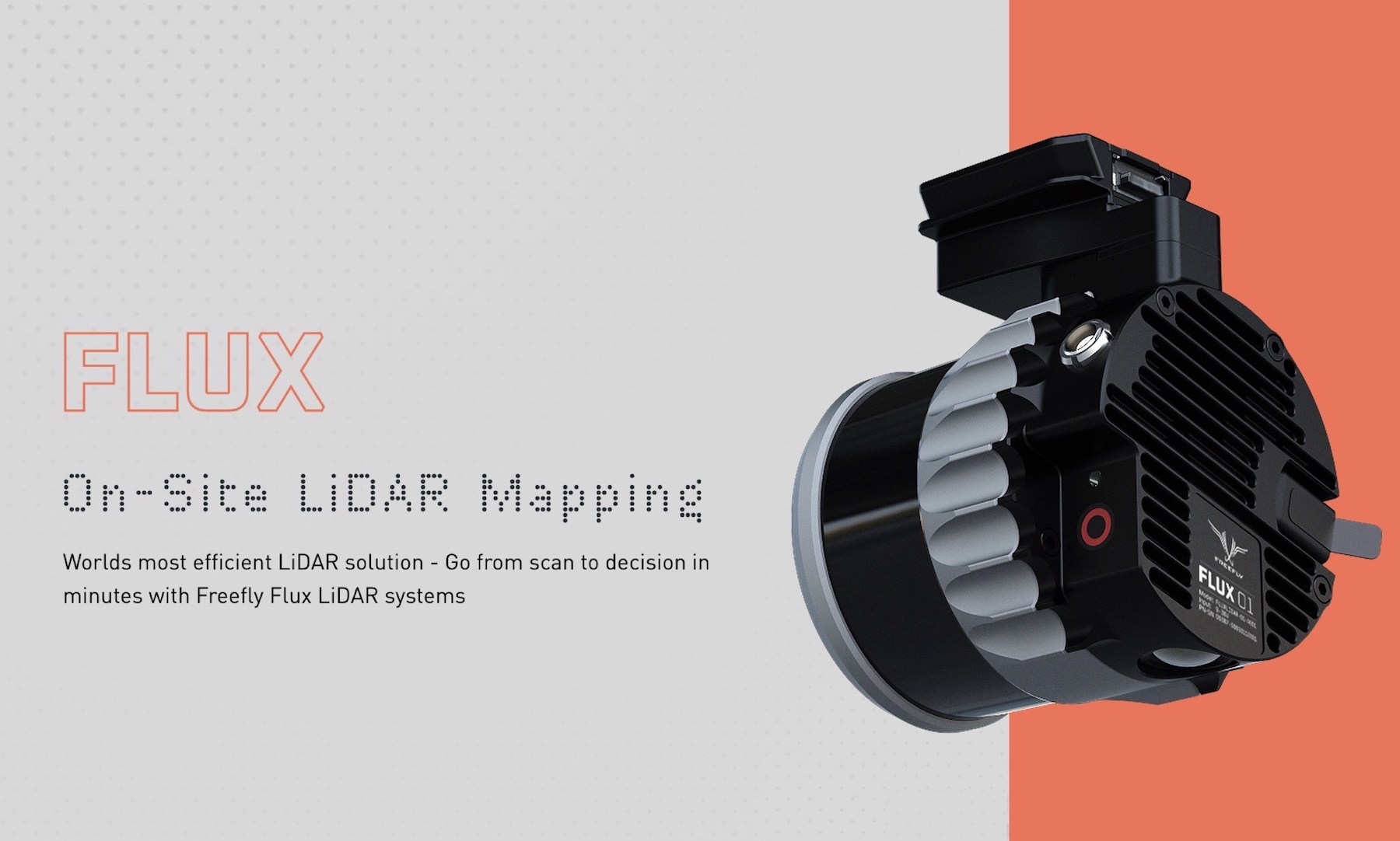
Drone LiDAR systems are gaining broader adoption as XTI Aerospace announced an expansion of its Drone Nerds LiDAR portfolio with the addition of Freefly Systems’ FLUX series. The move reflects growing demand for high performance aerial sensing tools that support surveying, mapping, inspection, and public sector operations where accuracy and reliability are critical.
LiDAR technology has become a core component of professional drone workflows, enabling users to generate detailed three dimensional models and extract precise measurements across complex environments. As enterprise and government customers expand their use of drones, access to dependable LiDAR payloads has become increasingly important.
The addition of the FLUX LiDAR series strengthens the range of options available to operators who require flexible sensing solutions that can be deployed across multiple mission types. From infrastructure inspection to environmental monitoring, LiDAR equipped drones support applications that extend well beyond visual data collection.
Drone LiDAR Systems Support Professional Aerial Workflows
Drone LiDAR systems provide advantages over traditional surveying methods by capturing dense point cloud data from the air. This capability allows operators to collect accurate terrain and structural information while reducing time spent in the field. For large or difficult to access areas, LiDAR equipped drones offer a safer and more efficient alternative to ground based surveys.
The FLUX series was developed to meet the needs of professionals operating in varied conditions. Payloads designed for reliability and data quality help ensure consistent results across different environments, supporting workflows that demand repeatable performance. As LiDAR use cases continue to expand, versatility has become a key consideration for operators.
By expanding its LiDAR portfolio, XTI Aerospace is responding to customer demand for solutions that integrate smoothly into existing aerial operations. Compatibility with a range of platforms and software tools helps reduce friction when adopting new sensing technologies.
“The FLUX LiDAR series was developed to support professionals who need reliable, high-quality data capture across a wide range of operational scenarios. Working with Drone Nerds allows us to make these payloads more accessible to enterprise and public sector customers who value performance, flexibility, and practical integration into existing aerial workflows.” Matt Isenbarger, CRO at Freefly Systems
Drones and LiDAR Expand Enterprise and Public Sector Capabilities
LiDAR equipped drones are increasingly used by enterprise and public sector organizations to support planning, inspection, and asset management. High resolution elevation data enables more informed decision making across industries such as construction, utilities, transportation, and environmental management.
As drone programs scale, access to trusted hardware partners becomes essential. Portfolio expansion allows service providers and internal teams to select LiDAR payloads that align with mission requirements without compromising data quality or operational efficiency.
The collaboration highlights how partnerships across the drone ecosystem are helping accelerate adoption of advanced sensing technologies. By improving accessibility to professional grade LiDAR systems, vendors support broader deployment across regulated and mission critical environments.
As aerial data collection continues to evolve, LiDAR remains a key driver of innovation within the drone industry. Expanding payload options helps ensure operators can adapt to new challenges and applications, with companies such as Freefly Systems contributing technology that supports the next phase of professional drone operations.
