

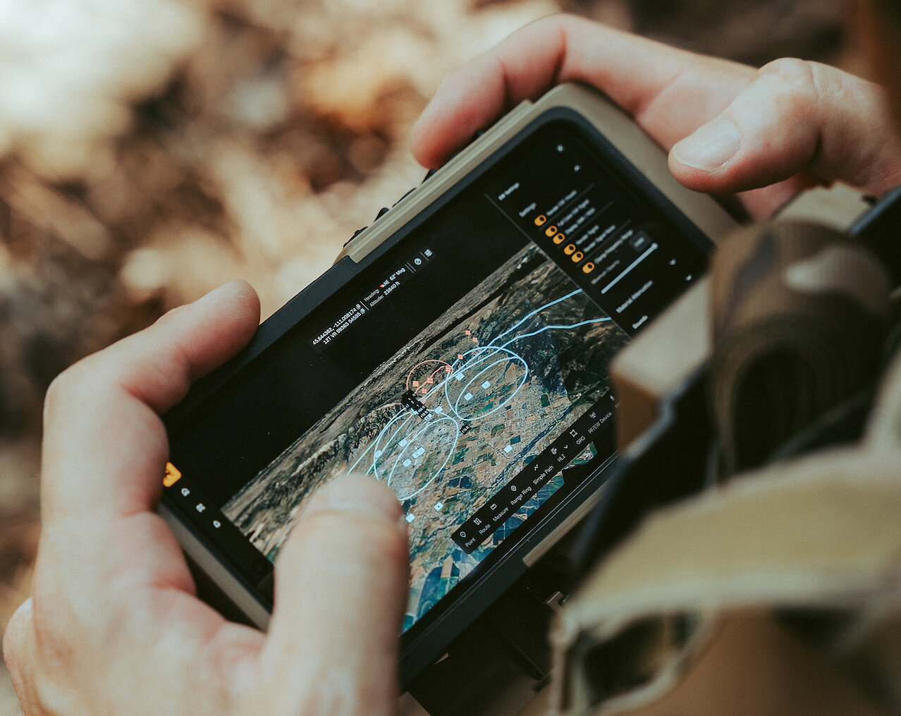
Reveal Technology has released Farsight 2.0, a new version of its 3D mapping and terrain intelligence software built for soldiers working at the tactical edge. The biggest change in Reveal Farsight 2.0 is a global world model that gathers imagery from every available source and merges it into one terrain picture that keeps updating, including imagery that travels across command and control networks. The Bozeman, Montana defense company announced the release on October 12, 2026, and described it as an operator-driven update aimed at authorized Army units.
Farsight already gives units an operational interface for working with imagery and running geospatial analysis in the field. What changes with version 2.0 is that a unit is no longer limited to the imagery it can gather on its own. Every authorized collection now feeds the same shared model, so operators begin with the most current terrain data available and can spend their time on analysis instead of assembling the picture themselves. Reveal also says the update is reaching operators on an agile software timeline rather than through a traditional programmatic cycle.
How Reveal Farsight 2.0 Builds One Shared Terrain Picture
The world model sits at the center of the release. Drone, satellite, and sensor imagery from all available sources is fused into a single terrain model that refreshes as new data arrives. A second feature, authorized data sharing, allows approved Army users in different units to add to that same model and build on what others have contributed. Reveal has also introduced autonomous asset tasking, where an operator describes the information needed and Farsight assigns drones to the job and manages the collection, a step the company says reduces operator workload.
Connectivity was another priority for the new version. Through offline model updates, soldiers can refresh and analyze the model in the field without any network connection. The core Farsight mapping tools carry over as well, so line-of-sight and viewshed analysis, HLZ and DZ assessments, AI-assisted route planning, and measurement tools all remain available. For units already trained on the platform, that continuity means the new world model is added on top of the planning features they use today.
Garrett Smith, co-founder and CEO of Reveal Technology, tied the update to a practical problem facing units in the field. In his view, the challenge is no longer a shortage of imagery but the time it takes an operator to track it down before a mission, and Reveal Farsight 2.0 was built to remove that step.
“Units have more imagery available than ever, but it’s scattered across sensors, networks, and organizations, and an operator planning a mission doesn’t have time to go find it all. Farsight 2.0 brings every authorized source into one world model on the device. Our users asked for analysis from every source available to them, not just what they collected themselves, and that is what we delivered.” Garrett Smith, Co-Founder and CEO, Reveal Technology
Army Rollout, Nett Warrior Integration, and a $9.5M Order
The Reveal Farsight update will be pushed out across the existing user base, while newly fielded units will receive Farsight 2.0 at initial installation. The software runs on hardware that soldiers already use. It also integrates with Nett Warrior, the Army’s soldier-worn situational awareness and battle command system, so the terrain model can work alongside a tool that troops already depend on.
The launch arrives alongside a new $9.5 million U.S. Army purchase order placed under Reveal’s existing GSA IDIQ contract. This second delivery order supports procurement, distribution, training, and sustainment of Farsight for additional infantry brigades. Reveal lists Farsight as its geospatial intelligence product and pairs it with Identifi, a mobile biometrics platform, with both deployed across the U.S. Army, Special Operations Command, the Marine Corps, and allied forces. The company describes its software and hardware as built to keep working when connectivity does not.
Reveal Technology was founded by former U.S. Marine Corps officers and Stanford technologists and is headquartered in Bozeman, Montana. More than half of its team is made up of veterans and active service members. The company says its goal is to build an ecosystem for autonomy and intelligence at the tactical edge, giving warfighters tools to make faster, safer, and better informed decisions in contested environments.
