

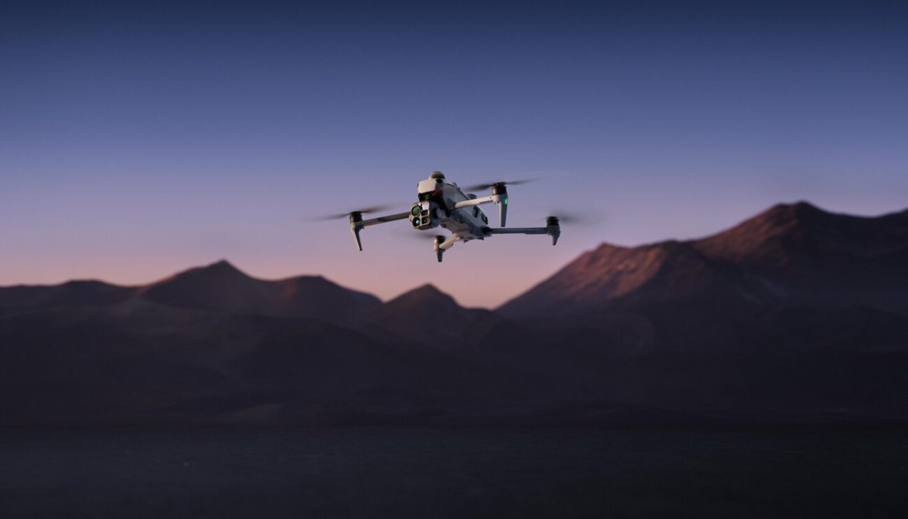
DJI has introduced the DJI Matrice 5T, a compact enterprise drone that pairs LiDAR, mmWave radar, and vision sensing with a 1K thermal camera and improved night vision. Announced from Shenzhen, China on November 5, 2026, the aircraft is now the company’s newest compact flagship for professional crews. DJI is aiming it at emergency response, inspection, and surveying teams that regularly have to fly in poor weather or after dark.
The new model carries an IP55 rating for protection against dust and rain, and DJI lists flight times of up to 59 minutes on a single battery. It is rated to work in temperatures from minus 20 to 50 degrees Celsius. Relay modes push its transmission range further, while onboard AI and plugins for the DJI Pilot 2 app are designed to help operators handle more of their workflow in the field.
How the DJI Matrice 5T Sees at Night and in Bad Weather
The infrared camera has a native resolution of 1280 by 1024, giving it four times as many pixels as the common 640 by 512 thermal sensors, and a UHR mode raises that output to 2560 by 2048. The wide-angle camera uses a large 1/0.98-inch sensor with an f/1.8 aperture, and with ISO reaching 1,600,000 plus AI low light enhancement, it can deliver full-color images at just 0.01 lux.
Two zoom cameras complete the setup. A medium telephoto camera with a 50 MP sensor and 3x optical zoom lets crews examine power lines and bridges from 10 meters away. The telephoto camera adds monochrome night vision along with 11x optical and 176x hybrid zoom, which DJI says is enough to make out license plate numbers from as far as 400 meters.
DJI says this is the first time it has combined LiDAR, mmWave radar, and an omnidirectional vision system in a compact enterprise drone. The LiDAR can spot power lines up to 32 meters away at night, and the radar keeps sensing through fog, rain, and dust. Where GNSS signals are weak, such as deep canyons, the DJI Matrice 5T merges visual and radar data into a live map that keeps its flight stable.
Onboard AI, O4 Relay Modes, and Rapid Mapping Tools
Built-in AI models watch the thermal and visible feeds side by side and can recognize more than 20 kinds of targets, including vehicles and vessels. With DJI FlightHub 2 connected, operators can search for targets inside DJI Pilot 2 using text or image prompts. They can also outline an area on a map to build a patrol route with custom actions such as hovering or broadcasting audio. The open onboard computing can run third-party models as well.
The O4 Enterprise Enhanced Video Transmission System gives the drone a range of up to 40 km, compared with 25 km on the previous generation. Adaptive multi-band switching helps it cope with urban interference, and dual built-in DJI Cellular Dongle 2 modules automatically jump to the strongest network link when obstacles block the signal. According to DJI’s Matrice 5T product page, those figures come from tests on a production model in a controlled environment. Smart Relay and several relay layouts also help with blocked signals over complex terrain.
When paired with DJI Terra, the aircraft can reach centimeter-level survey accuracy without ground control points. The software can stitch thermal images into 2D thermal maps and mark anomalies for large solar and grid inspections. During a flight, the remote controller can process 200 photos in 8 minutes to produce local point clouds or 2.5D models.
DJI Matrice 5T Missions, Coverage, and Data Security
Several features target specific jobs. During telephoto shooting, an AI foreground segmentation model separates the subject from its surroundings to keep key details clear. For power line work, the top-mounted LiDAR can lock onto power and ground wires, letting the drone fly along a line to look for broken strands. The DJI Matrice 5T can also launch from a moving vessel and recognize a landing pattern on the deck.
Protection plans are available for buyers. DJI Care Enterprise Plus offers flexible repair coverage, Flyaway Coverage Service, and a yearly replacement for one of the aircraft’s batteries under its terms. The DJI Official Extended Warranty Service adds another year to the warranty period and includes professional technical support for daily operations. The drone is available to buy now through authorized DJI Enterprise dealers.
DJI also detailed its data security practices. Users must opt in before sharing photos and videos with the company, and US users can no longer sync flight logs to DJI servers. DJI FlightHub 2 holds ISO 27001 and ISO 27701 certifications from the British Standards Institution. A Flight Termination System module supports C6 compliance and can stop the propellers manually or automatically if the drone crosses its Geocaging boundary.
